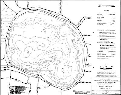
Detailed mooring buoy maps now available
I've always wanted a detailed mooring buoy map for this site, so I contacted the MPRB and asked if they had one, and if they did, could send me a copy. They went one better; sending it to me, and also making them available for everyone! Created for all three lakes, these highly detailed maps are in PDF format and show the location and the number of each buoy. It can be a tool to help create your selection strategy. I'll do a write-up about that soon. For now, enjoy, and dream about being on the water, hand on the tiller.
The MPRB map for Lake Harriet is HERE
The MPRB map for Lake Calhoun is HERE
The MPRB map for Lake Nokomis is HERE
You can click on the link to view the maps, or right-click to save a copy to your computer. I think it's Ctrl-click on Macs.


What are the un-numbered buoys near that dock? Are they extras, or maybe not placed on the lake?
ReplyDeleteThose first 6 buoys are reserved for the MPRB sailing school boats!
ReplyDeleteI missed the drawing last night for mooring balls. What can I do??
ReplyDelete