Free Lake Minnetonka, Waconia, WBL charts for Garmin Handhelds

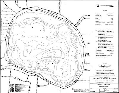
After I created my free chart for Lake Harriet for newer Garmin Handhelds, I got an email asking if I could create one for Lake Lake Minnetonka. Done. I also did one for Lake Waconia and White Bear Lake, so that should cover all metro sailing. And, if you happened to download the original Lake Harriet chart, there is a new one up that is much better. I'd suggest downloading it and replacing the original.
See the directions for viewing, downloading and installing the charts HERE.


That's very cool; thanks! What does it take to do this-- looks like you're basing them on the free DNR scanned charts. I'd love to do the same for Lake Pepin (and a few others!).
ReplyDeleteHi Rick,
ReplyDeleteI've gotten a LOT of comments and questions on this. I'm going to be doing a guest post on Panbo.com regarding the subject, and will also post an update here on details on creating new maps. To answer your question, I did use the MN DNR lake maps. I converted them from pdf to jpeg, and then cleaned them up and colored them. Then geo-referenced them and converted them to a KMZ file for the garmin unit.